Welcome to WLR722 LiDAR repository
2. Lego Loam Algorithm Mapping
Lego Loam Algorithm Mapping
This algorithm has been successfully compiled and run on the Orin-Nano motherboard. Orin-Nano motherboard system environment: Ubuntu22.04+ROS2-Humble.
Startup Command
Open Terminal 1 and enter the following command to start the Lego-Loam mapping program,
ros2 launch lego_loam_sr run.launch.py
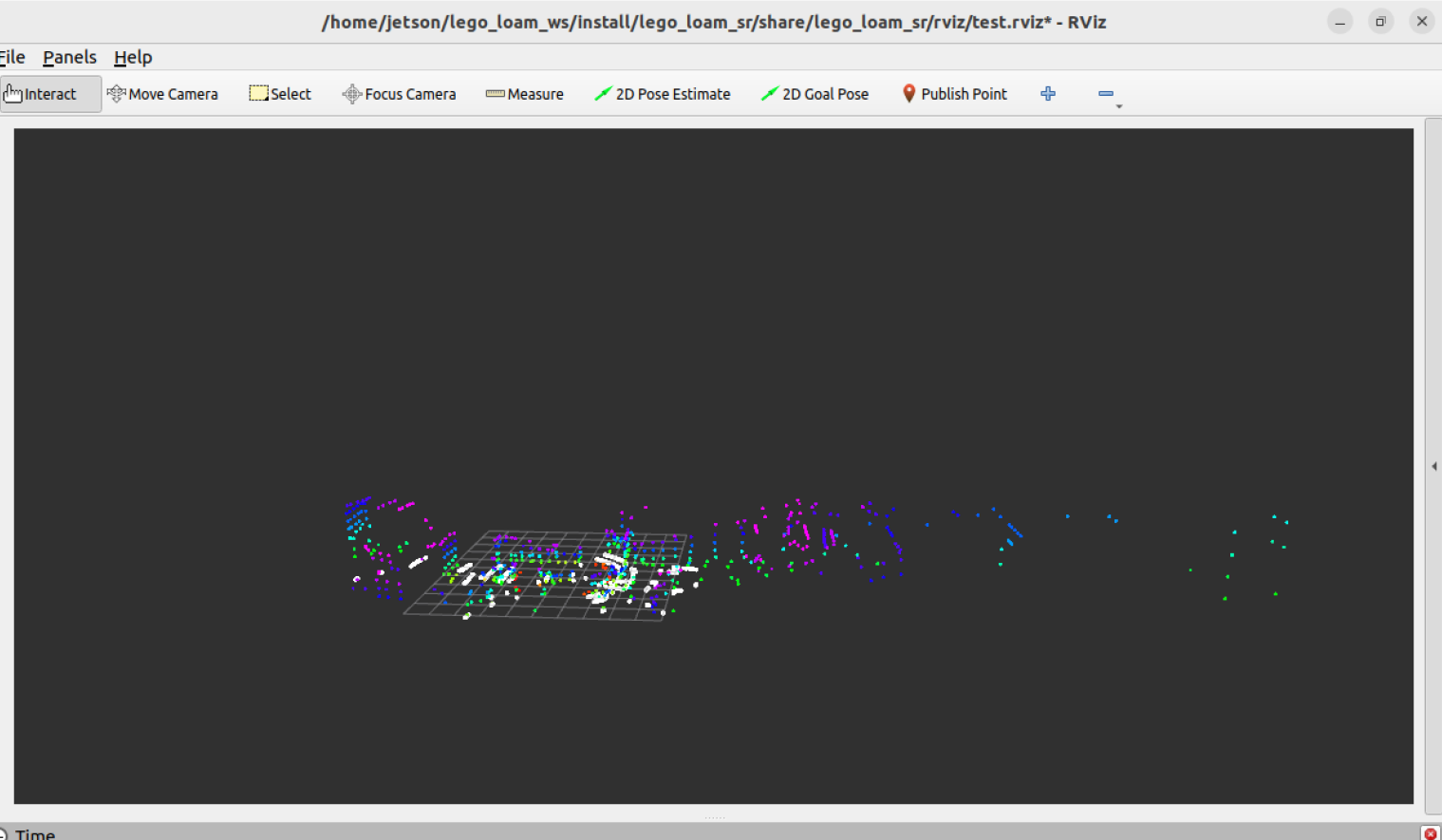
After the program starts, an rviz will open to display the mapping process.
Open Terminal 2 and enter the following command to start the 32-line lidar,
xxxxxxxxxxros2 launch vanjee_lidar_sdk start.py
Then, slowly move the lidar. The point cloud map in rviz will be gradually generated, as shown in the following figure,
Saving the Map
Place the save_lego_loam_map.py from the [Attachments] folder in the ~ directory of your motherboard, then open Terminal 3 and enter the following command to start the command to save the point cloud map,
xxxxxxxxxxpython3 save_lego_loam_map.py
Wait for the display showing "received xx point cloud data", then press ctrl c to save the map.
Map location: ~/lego_maps/lego_loam_map_xxxx.pcd, where xxxx is the generated timestamp.
Viewing the Point Cloud Map
Install the pcl_viewer tool, the installation command is as follows,
xxxxxxxxxxsudo apt install ros-humble-pcl-ros -y
Then, in the graphical interface, you can use pcl_viewer to view the point cloud map. In the directory where the point cloud map is saved, open a terminal and enter the following command,
xxxxxxxxxxpcl_viewer lego_loam_map_xxxx.pcd
Replace lego_loam_map_xxxx.pcd here with the actual point cloud map filename you want to view.
Mapping Parameter Table
The Lego_Loam mapping parameter table is located in the LeGO-LOAM-ROS2 directory:
xxxxxxxxxxLeGO-LOAM-ROS2/LeGO-LOAM/config/loam_config.yaml
The parameter table contents are as follows:
x# VLP-16image_projection ros__parameters laser num_vertical_scans32 num_horizontal_scans1200 vertical_angle_bottom-25.0 # degrees vertical_angle_top15.0 # degrees sensor_mount_angle0.0 # degrees ground_scan_index16
image_projection segment_valid_point_num5 segment_valid_line_num3 segment_theta45.0 # decrese this value may improve accuracy
map_optimization ros__parameters mapping enable_loop_closuretrue
surrounding_keyframe_search_radius50.0 # key frame that is within n meters from current pose will be considered for scan-to-map optimization (when loop closure disabled) surrounding_keyframe_search_num50 # submap size (when loop closure enabled)
history_keyframe_search_radius7.0 # key frame that is within n meters from current pose will be considerd for loop closure history_keyframe_search_num25 # 2n+1 number of history key frames will be fused into a submap for loop closure history_keyframe_fitness_score0.3 # the smaller the better alignment
global_map_visualization_search_radius500.0 # key frames with in n meters will be visualized savePCDtrue
feature_association ros__parameters laser num_vertical_scans32 num_horizontal_scans1200 scan_period0.1 # seconds
mapping mapping_frequency_divider5
featureAssociation edge_threshold0.05 surf_threshold0.05 nearest_feature_search_distance6.0Debug and modify according to actual situations.