Welcome to Muto RS Robot repository
1.Road network planning and navigation environment deployment
1.Road network planning and navigation environment deployment
1.Road network planning and navigation environment deployment1. Course Content2. Overview of Road Network Planning3. Case studies of operational road network planning schemes
1. Course Content
- Understand Road Network Planning and Navigation Functions
- Quickly understand road network planning and navigation functions using simulation test cases
2. Overview of Road Network Planning
- The core of the road network planning and navigation function is the use of Nav2's route server to help users create, edit, and manage route maps for robot navigation. A route map represents the valid paths a robot can follow in its environment, consisting of nodes (path points) and edges (connections between path points). Unlike ordinary free-space planning, path-based navigation ensures that the robot follows specific, predefined paths.
Road network planning and navigation are commonly used in the following scenarios:
Specific routes must be followed in industrial environments.
- Application Case: Factory AGV robots transport parts along a pre-set road network, avoiding production lines, personnel passages, and heavy equipment areas.
Warehouse operations requiring structured movement patterns
- Application Case: Parts warehouse, the road network is divided into zones according to material type, and robots store and retrieve parts along fixed routes to ensure first-in-first-out and avoid shelf collisions.
- Application example: Hotel service robots. When delivering goods to different rooms, the robots will only travel along a specific route network.
Facilities with restricted areas or priority paths
Large outdoor urban or natural environment
- Application Case: Route planning in navigation software is based on urban road networks. Autonomous sightseeing vehicles in scenic areas only travel along the park's fixed road network, avoiding ecological protection zones and dangerous sections.
3. Case studies of operational road network planning schemes
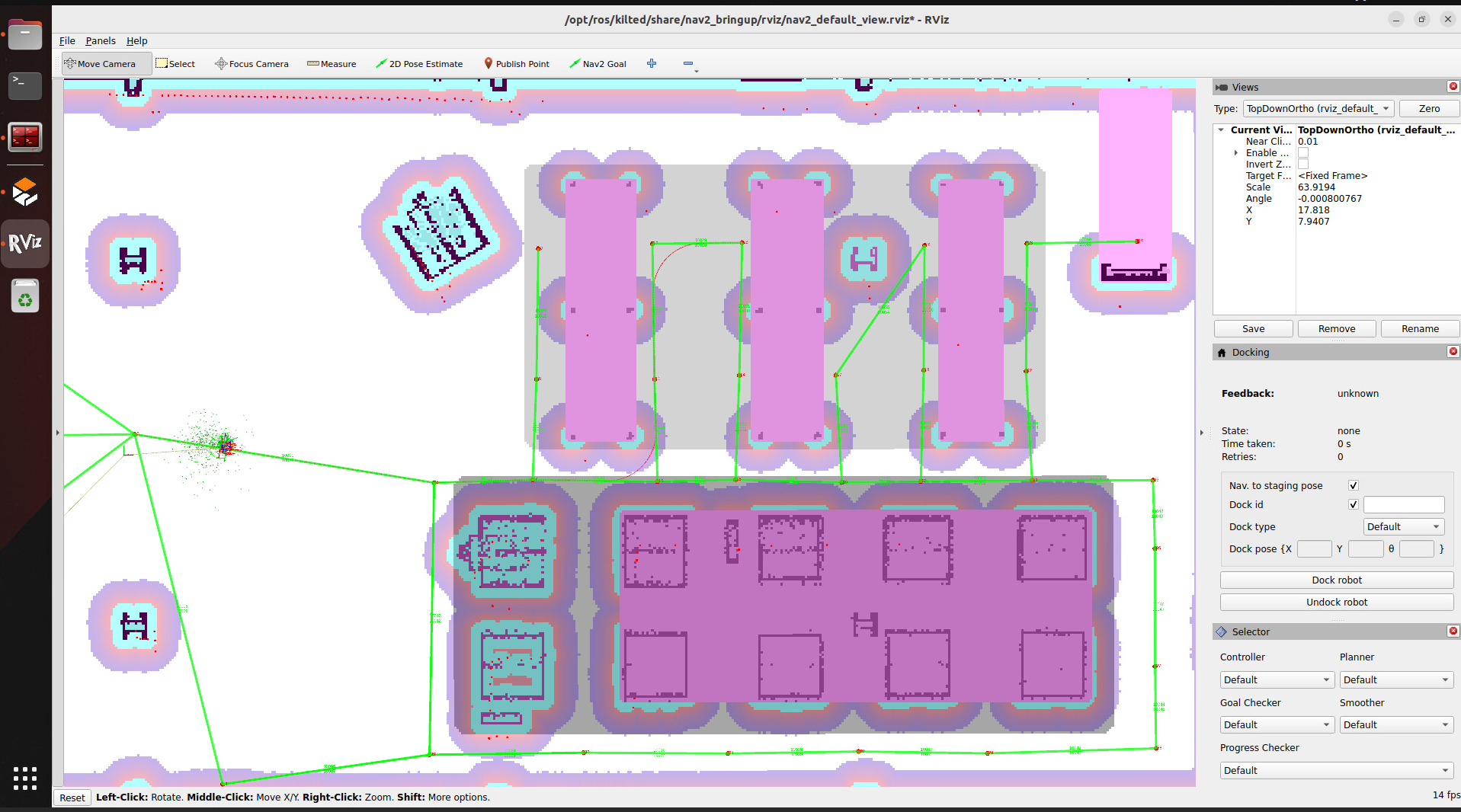
- The simulation test here is to help users quickly and intuitively understand the functionality and effects of the road network.
- After running the program, the warehouse road network case will be launched, and the program will travel from waypoint 3 to waypoint 13 along the road network.
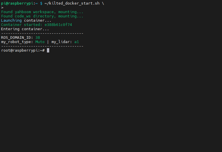
- Start ros2 kilted
~/kilted_docker_start.sh
- Startup Road Network Simulation Test Case
xxxxxxxxxxros2 launch road_net_route roadnet_sim.launch.pyThe simulated robot initializes its position at the 3rd node, then plans a path in the road network and navigates to the 13th node.