Welcome to MicroROS V2 Robot Car repository
6. Gmapping Mapping
gmapping Mapping Algorithm
gmapping Mapping Algorithm1. Course Content2. gmapping Algorithm Introduction3. Running the Demo3.1 Mapping Process3.2 Saving the Map3.3 Configuration File
1. Course Content
Basics: run the demo program and use the gmapping SLAM algorithm to build a map and save an occupancy grid map.
Advanced: understand the configuration parameters of the gmapping algorithm.
2. gmapping Algorithm Introduction
- gmapping only works when the number of 2D laser points in a single frame is less than 1440. If a single frame contains more than 1440 laser points, a problem like
[mapping-4] process has diedwill occur. - Gmapping is a commonly used open-source SLAM algorithm based on the filtering SLAM framework.
- Gmapping is based on the RBPF particle filter algorithm, which separates the simultaneous localization and mapping process: localization is performed first, then mapping.
- Gmapping makes two main improvements to the RBPF algorithm: an improved proposal distribution and selective resampling.
Advantages: Gmapping can build indoor maps in real time, and building maps of small scenes requires relatively little computation while achieving high accuracy.
Disadvantages: As the scene grows larger, the number of required particles increases. Because each particle carries a map, both the memory and
computational cost increase when building large maps. Therefore, it is not suitable for mapping large scenes. Moreover, it has no loop-closure detection, so the map may become misaligned when a loop closes; although increasing the number of particles can close the loop, it comes at the cost of higher computation and memory usage.
3. Running the Demo
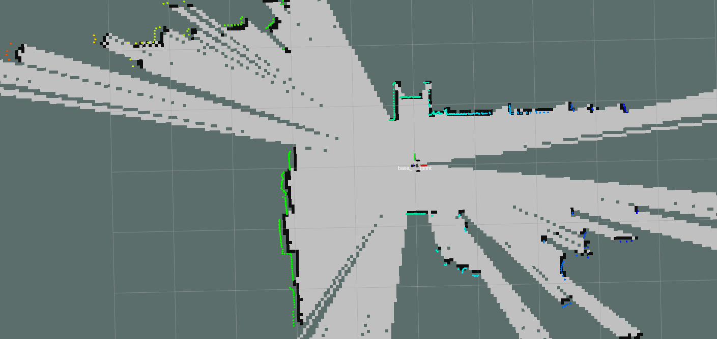
xxxxxxxxxxros2 launch microros_v2_bringup gmapping.launch.py
3.1 Mapping Process
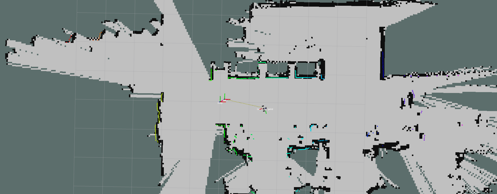
- Note: when mapping, slower speeds give better results (especially the rotation speed should be slow). If you move too fast, the mapping quality will be poor.
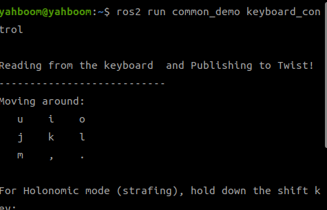
- Control the robot to move and complete mapping of the environment. You can use keyboard control or gamepad control; keyboard control is used here as an example.
xxxxxxxxxxros2 run common_demo keyboard_control
3.2 Saving the Map
- Run the following command in the terminal to save the occupancy grid map:
xxxxxxxxxxros2 launch microros_v2_bringup save_map.launch.py[!TIP]
Optional parameters:
map_name: specify the name of the map to save; the default value is mapFor example, to save a map named test.yaml, add the parameter:
ros2 launch microros_v2_bringup save_map.launch.py map_name:=test
A Map saved successfully message in the terminal means the map was saved successfully. If saving fails, try again.
The default map save path is as follows:
xxxxxxxxxx~/map/map.yaml
One PGM image and one YAML file, yahboom_map.yaml
xxxxxxxxxximage: yahboom_map.pgmmode: trinaryresolution: 0.05origin: [-10, -10, 0]negate: 0occupied_thresh: 0.65free_thresh: 0.25
Parameter explanations:
- image: path to the map file; it can be an absolute path or a relative path
- mode: this attribute can be one of trinary, scale, or raw, depending on the mode chosen; trinary is the default mode
- resolution: the resolution of the map, in meters/pixel
- origin: the 2D pose (x, y, yaw) of the bottom-left corner of the map. Here yaw is rotated counterclockwise (yaw=0 means no rotation). Many parts of the current system ignore the yaw value.
- negate: whether to invert the meaning of white/black and free/occupied (the interpretation of the thresholds is not affected)
- occupied_thresh: pixels with an occupancy probability greater than this threshold are considered fully occupied.
- free_thresh: pixels with an occupancy probability less than this threshold are considered completely free.
3.3 Configuration File
- Configuration file path:
xxxxxxxxxx~/microros_ws/src/microros_v2_bringup/config/slam_gmapping.yaml
- Meanings of the default configuration parameters:
slam_gmapping ros__parameters # Angular update threshold (radians): the map is updated when the robot rotates beyond this angle angularUpdate0.25 # Angular sampling step (radians): angular search step for scan matching astep0.05 # Robot base frame name base_framebase_footprint # Map frame name map_framemap # Odometry frame name odom_frameodom # Scan matching iteration termination condition: stop iterating when the parameter change is below this value delta0.05 # Maximum number of scan matching iterations iterations5 # Kernel size for scan matching, affects matching smoothness kernelSize1 # Distance sampling range for large-scale scan matching (m) lasamplerange0.005 # Distance sampling step for large-scale scan matching (m) lasamplestep0.005 # Linear update threshold (m): the map is updated when the robot moves beyond this distance linearUpdate0.5 # Distance sampling range for small-scale scan matching (m) llsamplerange0.01 # Distance sampling step for small-scale scan matching (m) llsamplestep0.01 # Measurement noise covariance of the laser scan lsigma0.075 # Number of laser beams to skip: 0 means using all laser points lskip0 # Linear sampling step (m): linear search step for scan matching lstep0.05 # Map update time interval (s) map_update_interval3.0 # Maximum laser range (m): points beyond this distance are ignored maxRange6.0 # Effective maximum laser range (m): maximum distance used for mapping maxUrange4.0 # Minimum score threshold for scan matching: matches below this value are discarded minimum_score0.0 # Occupancy probability threshold: cells above this value are considered occupied occ_thresh0.25 # Gain factor: affects the map update speed ogain3.0 # Number of particles in the particle filter particles30 # QoS (Quality of Service) parameter settings qos_overrides /parameter_events publisher depth1000 # Message queue depth durabilityvolatile # Durability policy historykeep_all # History policy reliabilityreliable # Reliability policy /tf publisher depth1000 durabilityvolatile historykeep_last # Keep only the latest message reliabilityreliable # Resampling threshold: resampling is triggered when the effective particle count falls below this ratio resampleThreshold0.5 # Angular noise covariance of scan matching sigma0.05 # Odometry model parameter: linear error ratio caused by linear motion srr0.1 # Odometry model parameter: angular error ratio caused by linear motion srt0.2 # Odometry model parameter: linear error ratio caused by angular motion str0.1 # Odometry model parameter: angular error ratio caused by angular motion stt0.2 # Time update interval (s): the map is updated even if the robot does not move temporalUpdate1.0 # Coordinate transform publish period (s) transform_publish_period0.05 # Whether to use simulated time use_sim_timefalse # Maximum range of the map along the x axis (m) xmax100.0 # Minimum range of the map along the x axis (m) xmin-100.0 # Maximum range of the map along the y axis (m) ymax100.0 # Minimum range of the map along the y axis (m) ymin-100.0