Welcome to ROSMASTER M1 PRO repository
1.Introduction To Road Network Planning
Introduction to Road Network Planning
1. Course Content
Understand the road network planning and navigation feature
2. Introduction to Road Network Planning
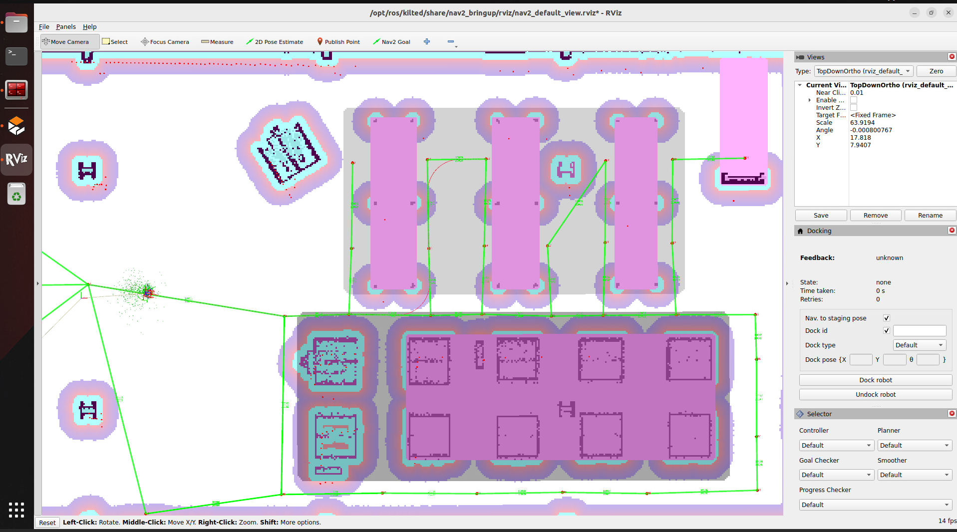
The core of the road network planning and navigation feature is to use Nav2's route server to help users create, edit, and manage the route map for robot navigation. The route map represents the valid paths the robot can follow in its environment, and it consists of nodes (waypoints) and edges (the connections between waypoints). Unlike ordinary free space planning, path-based navigation ensures the robot follows specific, predefined paths.
Road network planning and navigation is commonly used in the following scenarios:
Industrial environments where specific routes must be followed
Application case: Factory AGV robots transport parts along a preset road network, with routes avoiding production lines, pedestrian walkways, and heavy equipment areas.
Warehouse operations that require structured movement patterns
Application case: A parts warehouse divides the road network into zones by material type, and robots pick up and store parts along fixed routes, ensuring first-in-first-out while avoiding shelf collisions.
Application case: A hotel service robot delivering goods to different rooms only travels along a specific route network.
Facilities with restricted areas or preferred paths
Application case: In places such as hospitals and laboratories, robots drive along designated corridors, avoiding restricted areas or giving priority to dedicated corridors.
Large outdoor urban or natural environments
Application case: Route planning in navigation software is based on the urban lane network, and self-driving sightseeing vehicles in scenic areas only drive along the park's fixed road network, avoiding ecological protection zones and hazardous sections.