Welcome to ROSMASTER A1 PRO repository
12.Slam-Toolbox Localization Navigation
📍 SLAM-Toolbox Pure Localization and Autonomous Navigation
1. Course Content
Master using SLAM-Toolbox to load offline pose graph (
.posegraph+.data) for high-precision global pure localization (Pure Localization Mode).Combine SLAM-Toolbox pure localization pose output with Nav2 navigation framework (TEB local trajectory optimization planner) to achieve autonomous obstacle-avoiding single-point/multi-point navigation in known map environments.
Understand the collaborative workflow of graph optimization sliding window global localization and Nav2 path planning stack in non-AMCL mode.
2. SLAM-Toolbox Pure Localization Navigation Principle Analysis
In actual industrial and research applications, after map building is complete, there is usually no need to continue incrementally expanding the map during navigation. SLAM-Toolbox provides a dedicated pure localization mode (Localization Mode):
Graph Structure Freezing and Sliding Window Optimization (Sliding Window): After loading offline pose graph (
.posegraphand.data), the system uses it as read-only prior, no longer inserting permanent new nodes into the global pose graph; only performs real-time nonlinear optimization of the robot's current pose within a very small sliding window (scan_buffer_size: 3) using the Ceres solver, greatly reducing CPU and memory load.Advantages Over Traditional AMCL Particle Filter: Traditional AMCL relies on Monte Carlo particle filter, which is prone to particle dispersion degradation, jumping, or losing track (Pose Jump) in long corridors or symmetric feature environments; SLAM-Toolbox, based on laser point cloud and dense pose graph matching, outputs high-frequency smooth, jitter-free
map -> odomcoordinate transformation.Seamless Nav2 Navigation Protocol Stack Integration: The system shields native AMCL node through modified
slamtoolx_bringup.launch.py, withlocalization_slam_toolbox_nodesolely responsible for publishing global localization, while Nav2 focuses on costmap 2D updates, global path planning (NavfnPlanner), and TEB local trajectory obstacle avoidance control.
3. Preparation and Running
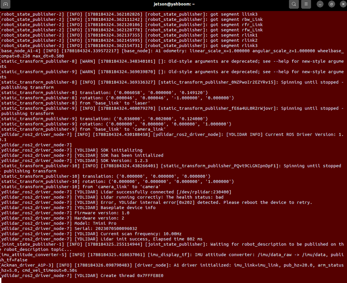
This example requires opening 3 terminals to start the following nodes in sequence:
3.1 Start Chassis + Lidar
Run in Terminal 1 (start A1 Pro chassis driver, wheel odometry, and lidar driver):
xxxxxxxxxxros2 launch yahboomcar_nav laser_bringup_launch.py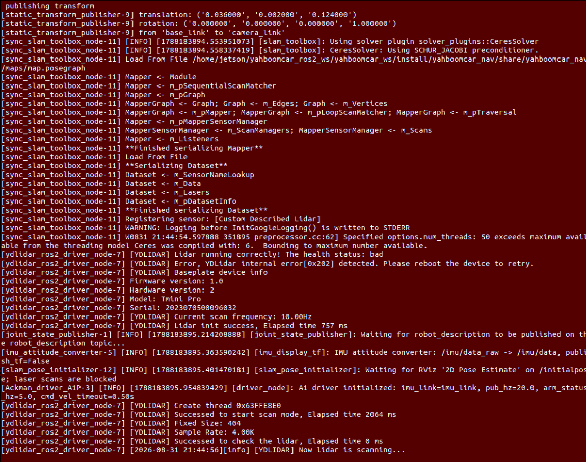
3.2 Start RViz Navigation Visualization
Run in Terminal 2 (it is recommended to open RViz on the virtual machine if the VM and robot are on the same LAN):
xxxxxxxxxxros2 launch yahboomcar_nav display_nav_launch.py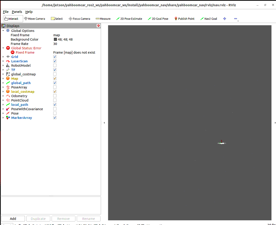
3.3 Start SLAM-Toolbox Pure Localization Navigation Core
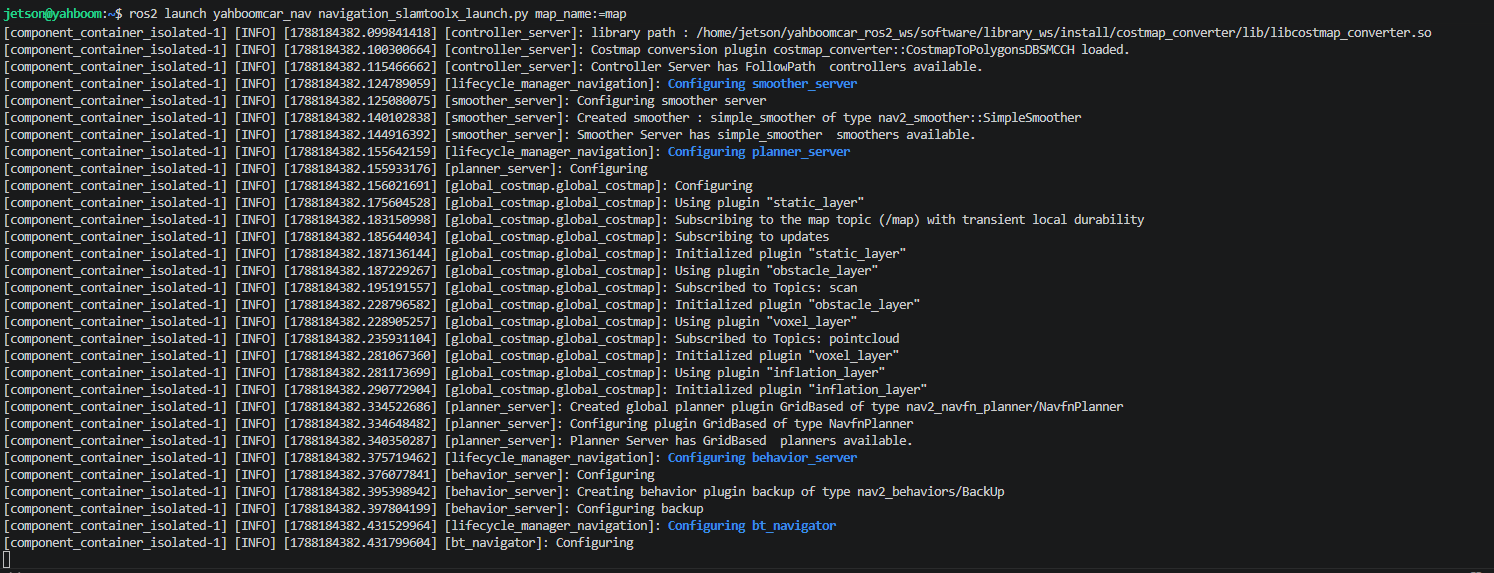
Run in Terminal 3 (one-click pull up SLAM-Toolbox pure localization node and Nav2 path planning stack):
xxxxxxxxxxros2 launch yahboomcar_nav navigation_slamtoolx_launch.py map:=map.yaml pose_map:=mapTip
map: Specifies the 2D raster map configuration file to load (stored inyahboomcar_nav/maps/directory).pose_map: Specifies the SLAM-Toolbox pose graph prefix to load (corresponds toyahboomcar.posegraphandyahboomcar.data).If using a custom named map (for example
map), you can pass:map:=map.yaml pose_map:=map.
4. Relocalization Navigation Operation Flow and Effect Description
4.1 Initial Relocalization Calibration (2D Pose Estimate)
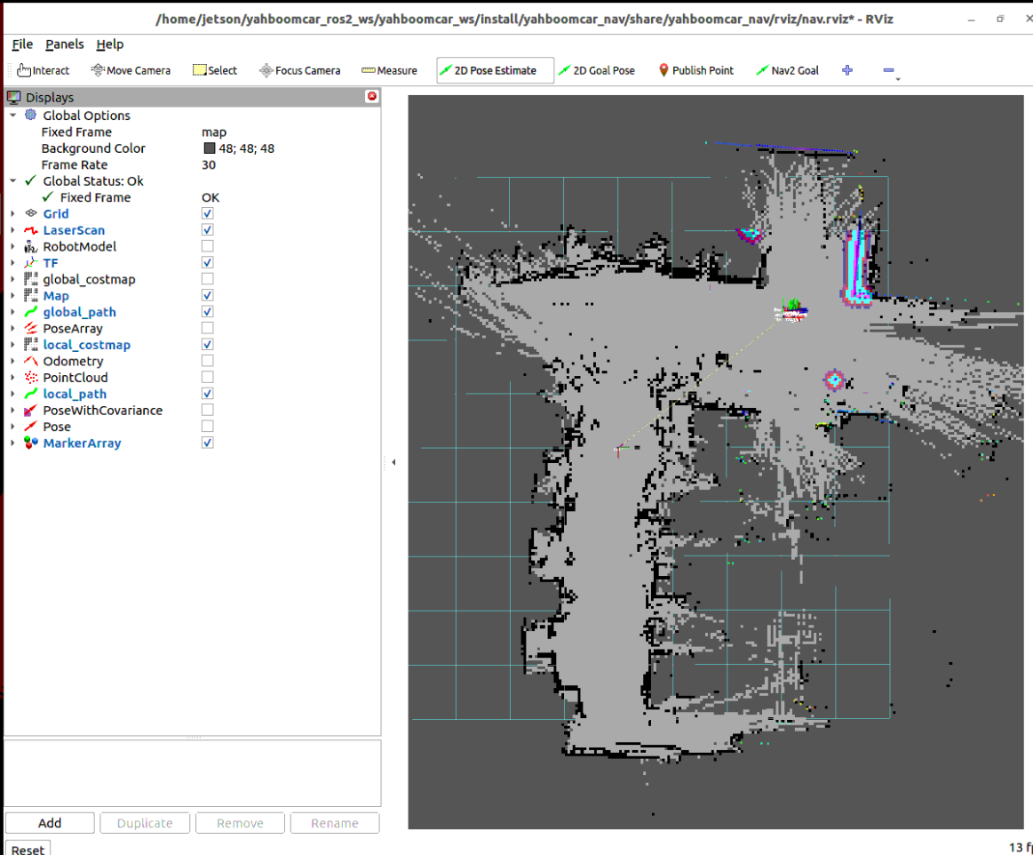
Click the
2D Pose Estimatetool in the top toolbar of RViz2;Click at the approximate actual robot stopping position on the map, and hold and drag the mouse along the chassis heading direction to release the green arrow to publish initial pose estimate;
After SLAM-Toolbox receives the pose, it will immediately complete local matching and alignment with surrounding geometric features; observe that the red laser point cloud in RViz completely coincides with the black obstacle contours on the map, representing successful relocalization.
4.2 Single-Point Autonomous Obstacle-Avoiding Navigation (Nav2 Goal)
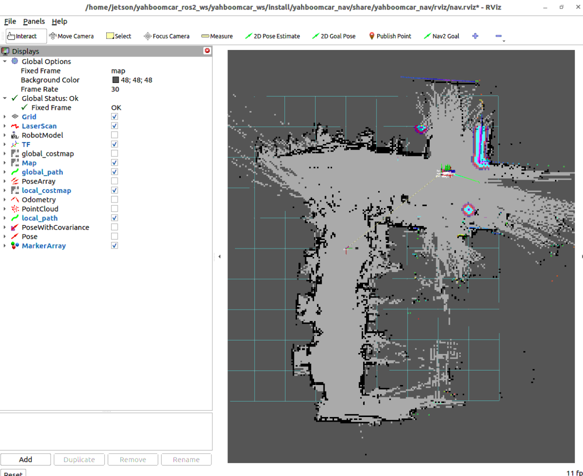
Click the
Nav2 Goal(or2D Goal Pose) tool in the top toolbar of RViz2;Click in the free traversable area on the map and drag out the expected goal heading arrow;
Nav2 global planner will generate an optimal path, local TEB planner real-time controls Ackermann chassis front-wheel steering and vehicle speed, dynamically avoids obstacles on the travel route, and smoothly arrives at the goal point.
4.3 Multi-Point Autonomous Continuous Cruising (Waypoint Following)
If you need the robot to continuously cruise multiple goal points:
In the Navigation2 panel in the lower-left corner of RViz2 interface, switch the mode from
Navigate to PosetoWaypoint / Nav Through Poses Mode;Use the
Nav2 Goaltool to sequentially click and calibrate multiple target waypoints on the map;Click
Start Waypoint Following, and the robot will autonomously travel through all waypoints in the set sequence and steadily align and stop at each point.
Note
To end navigation task, press Ctrl+C in each terminal window to stop the program.
5. Core Source Code and Localization Parameter Analysis
5.1 Pure Localization and Navigation Integration Launch Analysis
1. Main Launch Scheduling Launch
File Path:
xxxxxxxxxx$HOME/yahboomcar_ros2_ws/yahboomcar_ws/src/yahboomcar_nav/launch/nav2/navigation_slamtoolx_launch.py
xxxxxxxxxxdef generate_launch_description():    ...    # Map and parameter configuration    map_dir = PathJoinSubstitution([map_folder_dir, LaunchConfiguration("map")])    pose_map = PathJoinSubstitution([map_folder_dir, LaunchConfiguration("pose_map")])    params_file = LaunchConfiguration("params_file")
    # 1. Start Navigation2 stack (using modified slamtoolx_bringup to shield AMCL)    nav2_bringup = IncludeLaunchDescription(        PythonLaunchDescriptionSource(nav2_launch_mod),        launch_arguments={            "map": map_dir,            "params_file": params_file,            "use_sim_time": use_sim_time,        }.items()    )
    # 2. Start SLAM-Toolbox pure localization node    slamtoolbox_localization = IncludeLaunchDescription(        PythonLaunchDescriptionSource(slamtoolbox_localization_launch_file),        launch_arguments={            "map": pose_map,            "use_sim_time": use_sim_time,        }.items()    )
    return LaunchDescription([        *declared_arguments,        slamtoolbox_localization_nav,    ])
2. SLAM-Toolbox Pure Localization Node Launch
File Path:
xxxxxxxxxx$HOME/yahboomcar_ros2_ws/yahboomcar_ws/src/yahboomcar_nav/launch/nav2/localization_slamtoolx_launch.py
xxxxxxxxxx# Dynamically replace pose graph path through RewrittenYaml and start localization_slam_toolbox_nodeconfigured_params = RewrittenYaml(    source_file=slam_params_file,    root_key='',    param_rewrites={        'use_sim_time': use_sim_time,        'map_file_name': map_file,    },    convert_types=True)
slam_toolbox_node = Node(    package='slam_toolbox',    executable='localization_slam_toolbox_node',    name='slam_toolbox',    output='screen',    parameters=[configured_params],)
5.2 Core Algorithm and Navigation Parameter Interpretation
Parameter Configuration File Paths:
xxxxxxxxxx$HOME/yahboomcar_ros2_ws/yahboomcar_ws/src/yahboomcar_nav/params/mapper_params_localization.yaml$HOME/yahboomcar_ros2_ws/yahboomcar_ws/src/yahboomcar_nav/params/teb_nav_params.yaml
Core Parameter Description Table
| Parameter Module | Parameter Name | Current Config Value | Core Function and Physical Meaning |
|---|---|---|---|
| SLAM-Toolbox Localization | mode | localization | Working mode set to pure localization (does not add permanent new nodes) |
| SLAM-Toolbox Localization | scan_buffer_size | 3 | Shortened sliding window scan buffer to 3 frames, extremely low computational latency |
| SLAM-Toolbox Localization | map_start_at_dock | true | Whether to allow loading and alignment from map reference position |
| SLAM-Toolbox Localization | distance_variance_penalty | 0.5 | Scan matching displacement degradation penalty factor |
| SLAM-Toolbox Localization | angle_variance_penalty | 1.0 | Scan matching angle degradation penalty factor |
| Nav2 Local Controller | FollowPath.plugin | TebLocalPlannerROS | TEB local time-optimal trajectory optimization planner plugin |
| Nav2 Local Controller | max_vel_x | 0.25 | Maximum cruising linear velocity (m/s) |
| Nav2 Local Controller | min_vel_x | -0.05 | Limit reverse linear velocity (prevent rear collision due to no lidar) |
| Nav2 Local Controller | max_vel_theta | 1.0 | Maximum turning angular velocity (rad/s) |
| Nav2 Goal Tolerance | xy_goal_tolerance | 0.25 | Goal point planar distance arrival tolerance (meters) |
| Nav2 Goal Tolerance | yaw_goal_tolerance | 0.25 | Goal point yaw angle arrival tolerance (radians ≈ 14.3°) |
| Nav2 Local Costmap | inflation_radius | 0.18 | Local obstacle dynamic inflation radius (meters) |
| Nav2 Local Costmap | cost_scaling_factor | 10.0 | Exponential scaling factor for obstacle cost decay with distance |
Parameter File Core Configuration Snippet
x# 1. SLAM-Toolbox pure localization configuration (mapper_params_localization.yaml)slam_toolbox ros__parameters solver_pluginsolver_pluginsCeresSolver odom_frameodom map_framemap base_framebase_footprint scan_topic/scan modelocalization # Pure localization mode scan_buffer_size3 # Sliding window size is 3 frames resolution0.05 min_laser_range0.05 max_laser_range12.0 do_loop_closingtrue
# 2. TEB local trajectory optimization and obstacle avoidance configuration (teb_nav_params.yaml)controller_server ros__parameters controller_frequency20.0 FollowPath plugin"teb_local_planner::TebLocalPlannerROS" max_vel_x0.25 # Maximum cruising speed (m/s) min_vel_x-0.05 # Limit reverse speed max_vel_theta1.0 # Maximum turning angular velocity (rad/s) min_obstacle_dist0.1 # Minimum obstacle hard distance (m) xy_goal_tolerance0.25 # Arrival distance accuracy (m) yaw_goal_tolerance0.25 # Arrival angle accuracy (rad)
local_costmap local_costmap ros__parameters inflation_layer plugin"nav2_costmap_2d::InflationLayer" cost_scaling_factor10.0 inflation_radius0.18 # Local inflation radius (m)