Welcome to ROSMASTER A1 PRO repository
8.RTAB-Map SLAM Mapping (Depth Camera Only)
🗺️ RTAB-Map Vision and LiDAR Fusion 3D Mapping (RTAB-Map SLAM)
1. Course Content
Combining the RGB-D image from the Angstrong Nuwa-HP60C 3D Depth Camera and LiDAR 2D scan point cloud, run the RTAB-Map (Real-Time Appearance-Based Mapping) algorithm to construct a composite spatial map database (rtabmap.db) containing high-density 3D point clouds and 2D grids.
Important
This course is only applicable to users with the Angstrong Nuwa-HP60C Depth Camera version.
2. RTAB-Map Algorithm Core Principles
RTAB-Map is a real-time graph-optimized SLAM system based on appearance loop closure detection, with three core mechanisms:
Multi-modal sensor frontend fusion: Synchronously collect LiDAR Scan, Depth, and RGB, extract visual feature points (ORB/SURF/SIFT) and combine with wheel/EKF odometry to estimate pose;
Bayesian loop closure detection and global pose graph optimization: When the robot returns to a historical area, use visual Bag-of-Words (BoW) to quickly retrieve and match keyframes and trigger graph optimization to eliminate cumulative drift.
3. Preparation and Running
3.1 Start RTAB Mapping Core
Run in Terminal 1 (start Nuwa depth camera, chassis driver, EKF filtering and LiDAR, mapping):
xxxxxxxxxxros2 launch yahboomcar_nav map_rtabmap_launch.py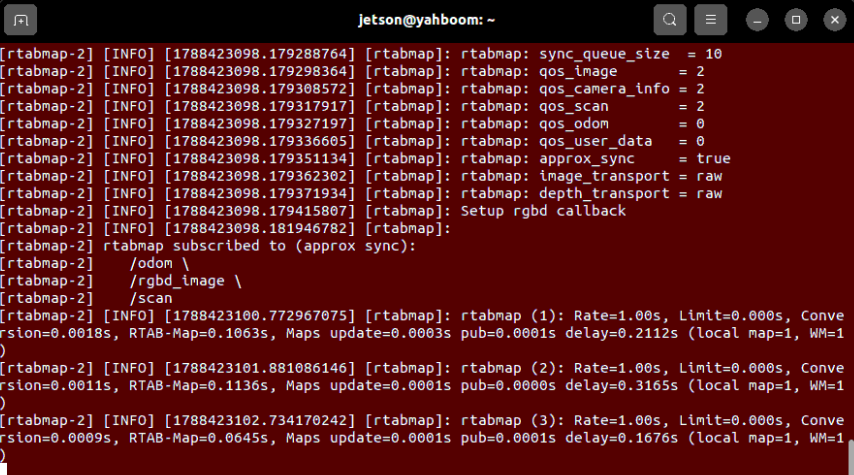
3.2 Start RViz 3D Mapping Visualization
Run in Terminal 2: (Orin motherboard does not need to run this command, RDK and Raspberry Pi motherboards need to run in virtual machine)
xxxxxxxxxxros2 launch yahboomcar_nav display_rtabmap_map_launch.py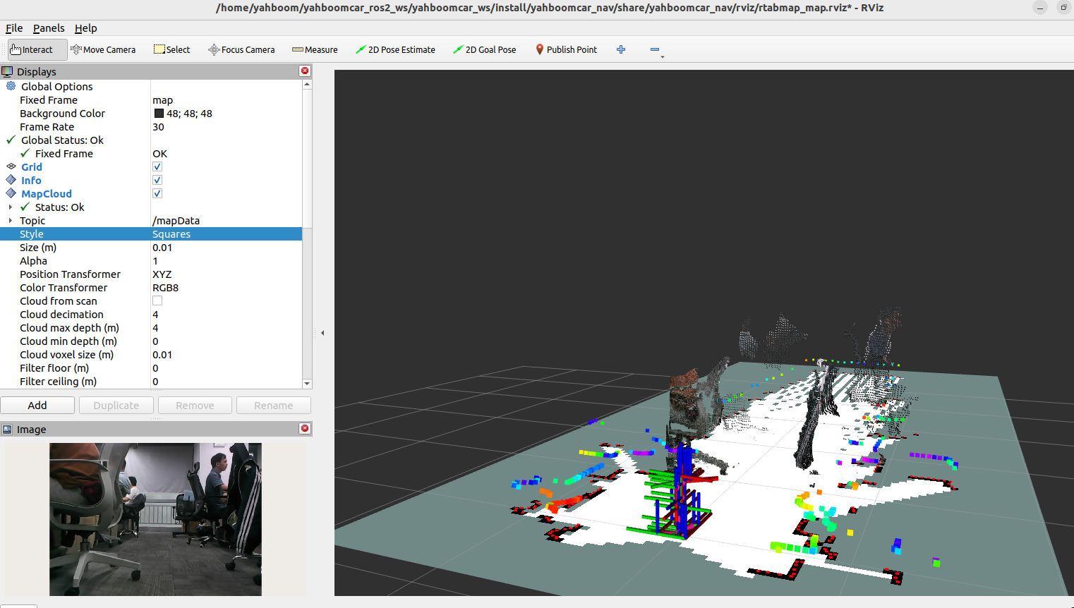
3.3 Start Keyboard Control for Mapping
Run in Terminal 3:
xxxxxxxxxxros2 run yahboomcar_ctrl yahboom_keyboard4. Hands-on Demo and Mapping Operation
Keep the keyboard control terminal focused, press
i(forward),u(forward-left),o(forward-right),,(backward) to control the robot to slowly cruise in the environment;Observe the gradually constructed 3D color point cloud model and 2D grid boundary in the RViz interface;
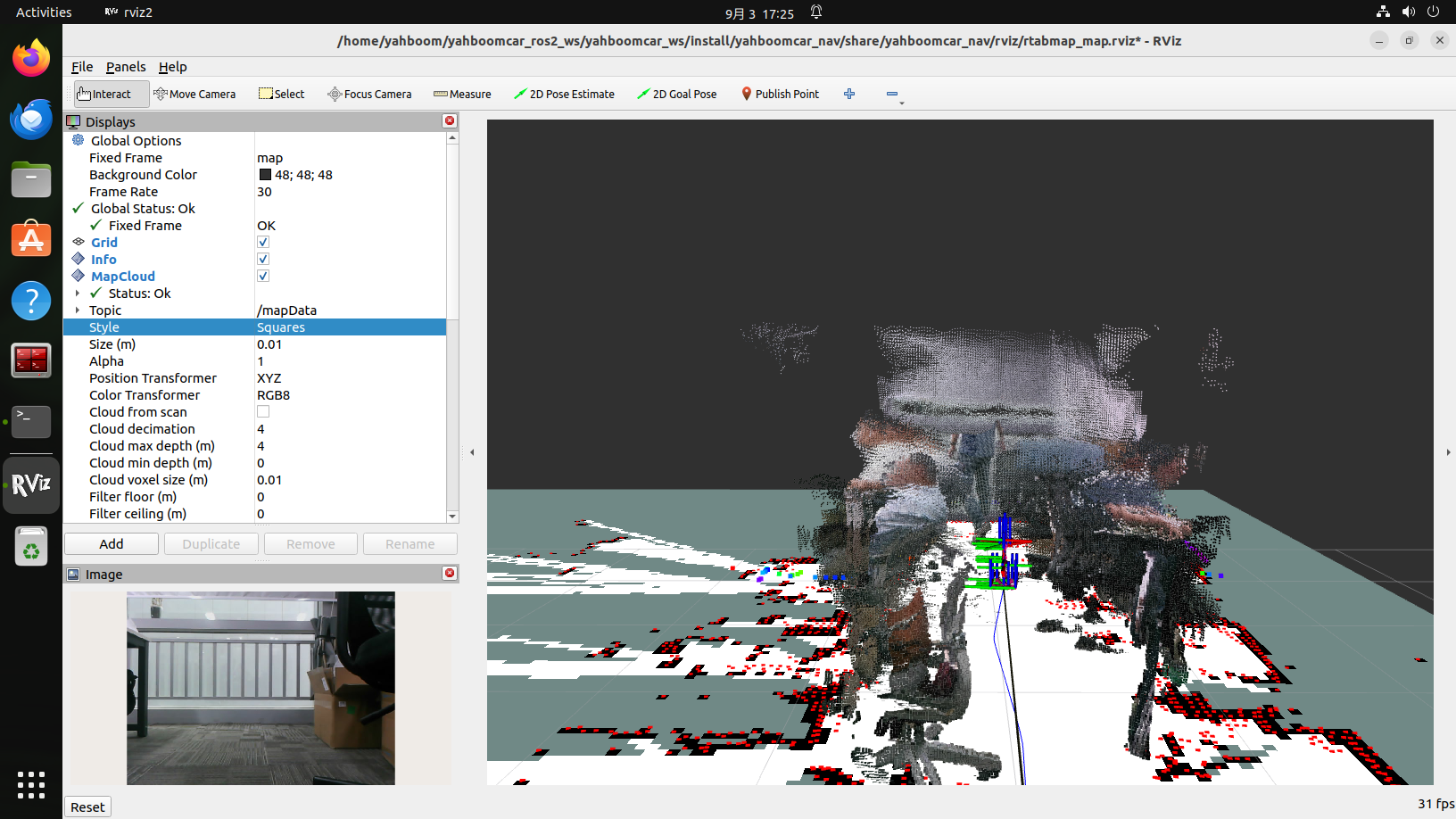
Loop closure construction: Control the robot to make a round trip back to the starting point, and observe the system automatically align and merge point clouds after detecting the loop closure;
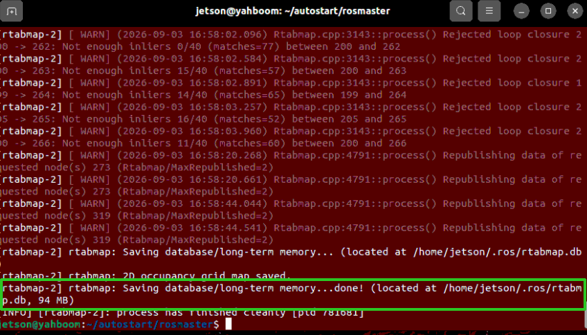
Save map database: After mapping is complete, press
Ctrl+Cdirectly in each terminal window to stop the program, and RTAB-Map will automatically save the complete graph-optimized pose and point cloud database to:xxxxxxxxxx~/map/rtabmap.db (or ~/.ros/rtabmap.db)
5. Core Source Code Analysis and Architecture Design
Source Code Reference:
yahboomcar_ws/src/yahboomcar_nav/launch/rtab/map_rtabmap_launch.pyyahboomcar_ws/src/yahboomcar_nav/launch/rtab/rtabmap_sync_launch.py
The entire mapping system adopts a loosely-coupled architecture design: the underlying sensors are centrally scheduled in car_base.launch.py, and the mapping top-level map_rtabmap_launch.py focuses on RTAB-Map synchronization and graph optimization:
5.1 RGB-D Multi-stream Soft Timestamp Synchronization (rgbd_sync)
Because the HP60C camera's camera_info and RGB/Depth have slight timestamp jitter, the system performs loose approximate timestamp synchronization through the rgbd_sync node in rtabmap_sync:
xxxxxxxxxx# rtabmap_sync_launch.py —— Sensor input synchronization nodeNode( package='rtabmap_sync', executable='rgbd_sync', output='screen', parameters=[{ 'approx_sync': True, # Enable soft timestamp approximate alignment 'approx_sync_max_interval': 0.0, # Keep unbounded approximate sync, tolerate camera frame rate jitter 'topic_queue_size': 20, 'sync_queue_size': 20, }], remappings=[ ('rgb/image', '/ascamera_hp60c/camera_publisher/rgb0/image'), ('rgb/camera_info', '/ascamera_hp60c/camera_publisher/rgb0/camera_info'), ('depth/image', '/ascamera_hp60c/camera_publisher/depth0/image_raw'), ('odom', '/odom') ])5.2 Constrained Ground 3DoF Optimized SLAM Core Parameters
For ground Ackermann/differential mobile robots, the parameter configuration forcibly locks 3 degrees of freedom (X, Y, Yaw) to eliminate false drift from pitch and roll caused by ground bumps:
# rtabmap_sync_launch.py —— SLAM parameter configuration snippetparameters = { 'frame_id': 'base_footprint', 'map_frame_id': 'map', 'subscribe_rgbd': True, 'subscribe_scan': True, # Fuse LiDAR 2D contour 'approx_sync': True, # 【3DoF constraint】Force constraint on 2D ground plane movement optimization 'Reg/Strategy': '1', # 1=ICP-based LiDAR auxiliary registration 'Reg/Force3DoF': 'true', # Ignore Roll/Pitch 'RGBD/ForceOdom3DoF': 'true', # 【Turn and keyframe trigger mechanism】 'Rtabmap/DetectionRate': '3.0', # Keyframe detection frequency (3Hz) 'RGBD/LinearUpdate': '0.1', # Update keyframe after moving 0.1m 'RGBD/AngularUpdate': '0.05', # Update keyframe after rotating 0.05rad, dense frame storage during turns to maintain overlap rate # 【ICP anomaly filtering】 'Icp/RangeMin': '0.2', 'Icp/MaxTranslation': '0.15', # Filter anomalous registration jumps larger than 0.15m per frame 'Vis/MinInliers': '40', # Visual feature inlier threshold}